Telangana Holds Key Habitats For Great Indian Bustard, Finds WII Study
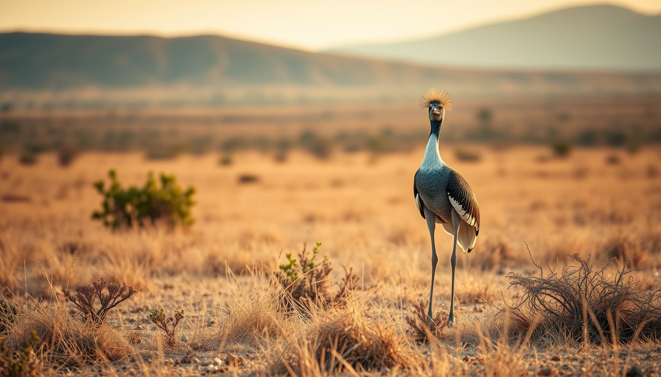
HYDERABAD — The Great Indian Bustard, one of the world's most threatened bird species, has suitable habitat across only 48,000 square kilometres—or 6.6 percent—of the 7.2 lakh square kilometre Deccan landscape, with key pockets identified in Telangana's Rangareddy, Mahbubnagar, and Adilabad districts.
The findings were published in the journal PLoS One on August 14 in a study conducted by researchers Shaheer Khan, Gautam Talukdar, and Bilal Habib from the Wildlife Institute of India. The research mapped potential refuge locations for the endangered bird and identified 16 priority conservation areas spanning approximately 18,000 square kilometres across the Deccan plateau.
According to the study, Telangana accounts for the second-largest proportion of suitable habitat in the region at 5.5 percent, trailing Maharashtra's 7.4 percent. Within Telangana, the highest habitat suitability was documented in Rangareddy at 25 percent, followed by Mahbubnagar at 17.7 percent and Adilabad at 15.7 percent.
Among other states in the Deccan landscape, Karnataka recorded 4.4 percent suitable habitat, with high suitability in Gulbarga at 31 percent, Bijapur at 28.9 percent, and Bidar at 26.8 percent. Andhra Pradesh accounted for just 0.02 percent of suitable habitat, concentrated primarily in Kurnool. In Maharashtra, Osmanabad recorded 66.9 percent suitability and Solapur recorded 50 percent.
To map and assess the habitat, the research team used GPS telemetry data collected from three tagged Great Indian Bustards, applied a MaxEnt species-distribution model, conducted 6,436 kilometres of field transects, and gathered 1,401 questionnaire interviews.
The researchers noted that farmlands and open areas play a critical role in supporting the species. The 16 identified priority conservation areas—comprising 11 in Maharashtra and five spread across Telangana, Karnataka, and Andhra Pradesh—were dominated by current fallow lands (28.6 percent), kharif crops (24.3 percent), mixed crops (18.8 percent), and grasslands (11.6 percent).