INCOIS Hyderabad Satellite Advisories Help 14 Lakh Fishermen Cut Costs
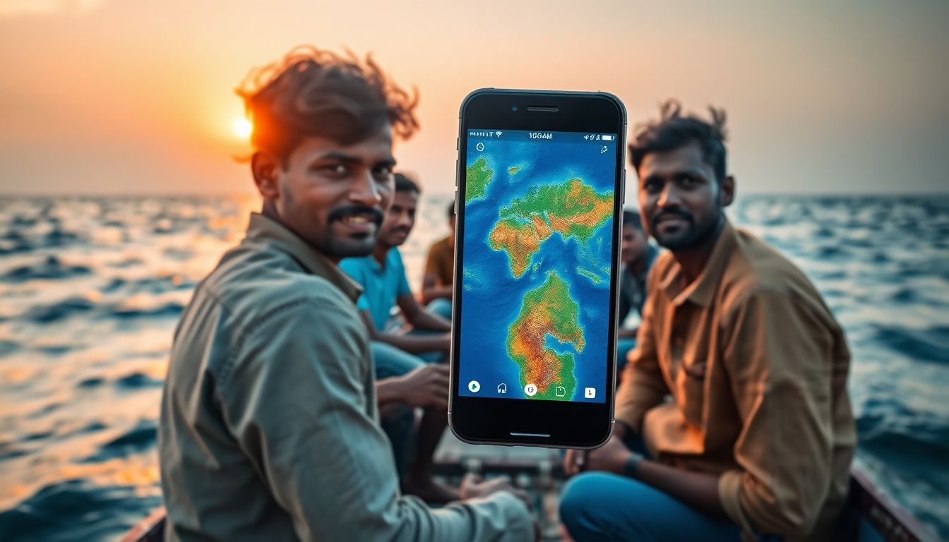
The Indian National Centre for Ocean Information Services (INCOIS), based in Hyderabad, has developed a satellite-based forecasting system that is now helping nearly 14 lakh fishermen across India. The Potential Fishing Zone (PFZ) advisory system, which began as an experimental service in the late 1990s, uses sea-surface temperature and chlorophyll data to guide fishermen to productive waters, significantly reducing search times and fuel costs.
Developed under the Ministry of Earth Sciences, the system has evolved from bi-weekly reports to daily updates. Scientists at the Hyderabad-based institute use satellite data to identify ocean areas where fish are likely to aggregate. These advisories are then disseminated to coastal regions through mobile apps, satellite communication devices, radio broadcasts, harbour display boards, and state-specific Telegram channels.
According to an assessment led by INCOIS director T.M. Balakrishnan Nair, the PFZ-guided fishing generates substantial net annual benefits. In one study, fishermen reported earning an average of ₹18,000 more per trip. The system has cut search times by 60% to 70% for small pelagic shoals and by 30% to 40% for several commercially important species. This allows trips that once took three to five days to be completed in just one or two days.
Field validation along India's coastline, including experiments conducted off Odisha and Andhra Pradesh, confirmed the advisories' effectiveness. For instance, purse seiners averaged 3,260.5 kg per haul within the notified zones compared to 1,616.2 kg outside them.
The environmental benefits are also notable. By reducing search times, the advisories help lower fuel consumption. A study off Kerala recorded fuel savings ranging from 21.5 to 1,293.5 litres per tonne of catch, which cuts carbon emissions. To protect marine ecosystems, INCOIS suspends these advisories during statutory fishing bans and does not issue them for marine protected areas or turtle nesting sites.
The technology has also led to species-specific forecasts, such as the Yellowfin Tuna Advisory and the Hilsa Fishery Advisory, which protect breeding habitats while guiding fishermen. New tools like the GEMINI device and the SAMUDRA app provide real-time information to mariners at sea.
The study and development of these systems involved INCOIS scientists Dhanya M. Lal, Bhagyashree Dash, Sanjiba Baliarsingh, Alakes Samanta, N. Swetha, Sudheer Joseph, and M. Nagaraja Kumar.